GIS & SPATIAL INTELLIGENCE
Make spatial data
useful for decisions.
Clear mapping and spatial analysis can help teams understand where opportunities, constraints and service needs intersect.
Explore GIS support ↗Maps with a
planning purpose.
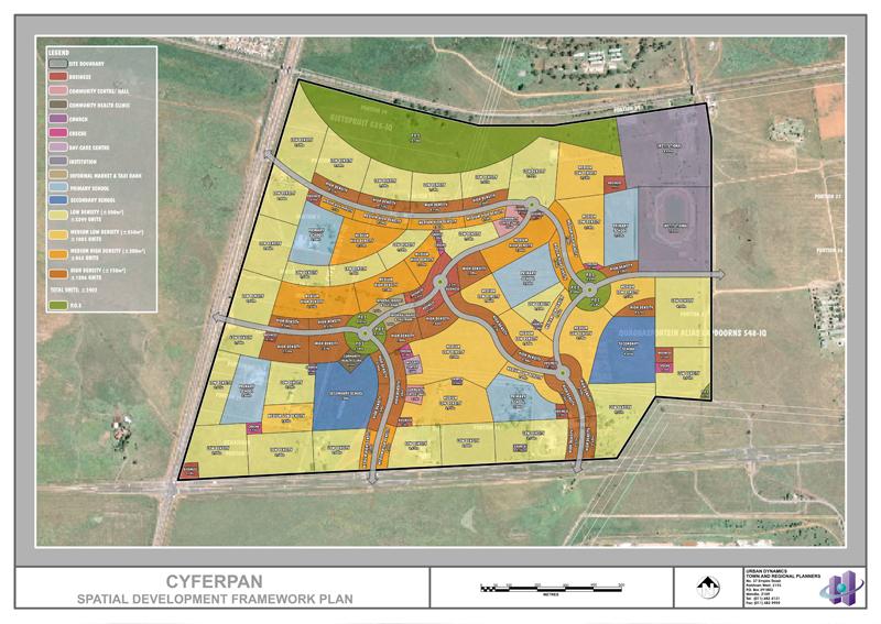
GIS work can support property decisions, planning projects and organisations working across places. The right output depends on the data available and the question to be answered.
- GIS mapping and land-use mapping
- Site suitability and opportunity mapping
- Spatial databases and dashboards
- Spatial analysis and decision support